UN
31 Mayfield
£ 298,000
Description
We don't have a Description for this property.
- Bedrooms
- 3
- Bathrooms
- 0
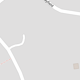

Leaflet © OpenStreetMap contributors
The heatmap indicates the level of crime in the area. The color of the heatmap indicates the crime severity and recency.
Metrics Year-on-Year
- Average area value
- 269,990.00 £Increased by 14.67 %
- Average area rental value
- 888.00 £/moDecreased by 3.06 %
- Est rental Yield
- 3.95 %Decreased by 15.42 %
- Crime Rate
- 14.00 %Unchanged by 0.00 %
from 235,441.00 £
from 916.00 £/mo
from 4.67 %
from 14.00 %
Nearby Schools
| Name | Type | Ofsted | Distance |
|---|---|---|---|
| The Ryes College | Other Independent Special School | Good | 3.27 KM |
| Nayland Primary School | Community School | Good | 3.62 KM |
| Boxford Church Of England Voluntary Controlled Primary School | Voluntary Controlled School | Outstanding | 4.35 KM |
| Oneschool Global Uk Colchester Campus | Other Independent School | 4.87 KM | |
| Littlegarth School | Other Independent School | 5.10 KM |
Images
Nearby Streets
| Name | Average Price | Average Sqft | Distance |
|---|---|---|---|
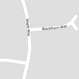
| Blackthorn Way | £ 0 | 0 | 0.00 KM |
Nearby Transport
| Name | NLC | TLC | Distance |
|---|---|---|---|
| Bures | 7085 | BUE | 8.36 KM |
Nearby Listings
| Address | Price | Type | Score | Distance |
|---|---|---|---|---|
| Leavenheath | £ 525,000 | BUY | Unknown | 0.00 KM |
| Leavenheath, Suffolk | £ 475,000 | BUY | 7 / 10 | 0.10 KM |
| Leavenheath | £ 485,000 | BUY | Unknown | 0.16 KM |
| Leavenheath, Colchester, Suffolk | £ 435,000 | BUY | 6 / 10 | 0.19 KM |
| Maple Way, Leavenheath, Colchester, CO6 | £ 500,000 | BUY | 7 / 10 | 0.24 KM |
Nearby Properties
| Address | Price | Distance |
|---|---|---|
| 12 Mayfield | £ 246,000 | 0.00 KM |
| 7 Mayfield | £ 360,000 | 0.00 KM |
| 16 Mayfield | £ 412,500 | 0.00 KM |
| 43 Mayfield | £ 399,995 | 0.00 KM |
| 4 Mayfield | £ 355,000 | 0.00 KM |